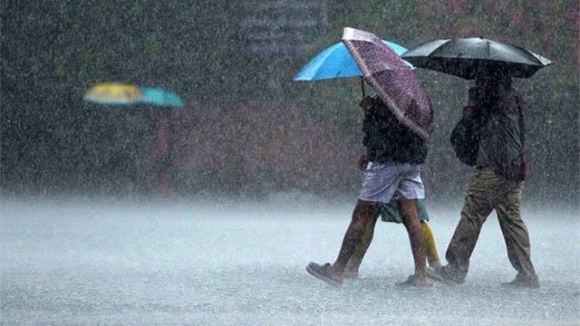
The Department of Meteorology has forecast heavy rainfall above 100 mm at some places in the Sabaragamuwa province and in the Kandy and Nuwara Eliya districts on Monday (3), twice the threshold it set for the same catchments a day earlier.
Showers or thundershowers will occur at times in the Central, Sabaragamuwa, Uva, Eastern and Southern provinces, with cloudy skies prevailing over those areas, the department said. Several spells of showers are expected in the Western, North-Western and North-Central provinces, and showers or thundershowers may develop at several places in the Mullaitivu district after 2.00 p.m.
Strong winds of about 40-50 kmph can be expected at times over the North-Central, Sabaragamuwa, Southern, Central and North-Western provinces.
The department asked the public to take adequate precautions to minimise damage from temporary localised strong winds and from lightning during thundershowers.
An escalation, not a continuation
Sunday’s bulletin had put fairly heavy falls of about 50 mm at some places in Sabaragamuwa and in the Kandy, Nuwara Eliya, Kalutara, Galle and Matara districts. Monday’s figure is double that, and the heavy-rain zone has also narrowed and moved inland: Kalutara, Galle and Matara drop off the list, leaving the two hill-country districts and Sabaragamuwa.
That is the same ground now carrying the weekend’s accumulated water. The Met Department’s Sunday forecast had described an easing after Saturday’s Amber advisory lapsed at 6.00 a.m.; Monday’s reverses it.
The wind areas have shifted again as well. Sunday’s list named the same five provinces plus the Trincomalee district, which Monday drops. The province set has otherwise held steady for a third day.
Where the rain is landing
The catchments singled out for the heaviest falls are already under two separate warnings. The National Building Research Organisation has landslide early warnings in force until 11.00 p.m. on Monday for divisions in Kandy, Kegalle, Nuwara Eliya and Ratnapura, and the Irrigation Department has issued a 24-hour flood warning for low-lying land along the Mahaweli in six Kandy divisions.
Rainfall through the weekend has already put the Mahaweli over its banks at Peradeniya and Nawalapitiya and forced two spill gates open at the Polgolla dam. A further 100 mm falls on saturated ground.
The rain remains driven by the active south-west monsoon, though Monday’s addition of the Uva and Eastern provinces to the shower list extends it further across the island than in recent days.