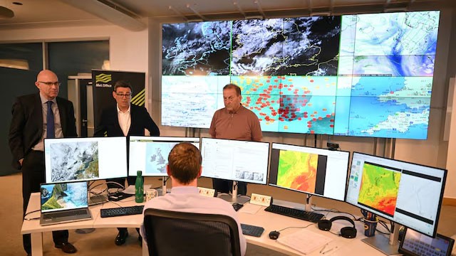
Britain’s Met Office said on Friday that the developing El Niño is likely to be the strongest in living memory, and probably the largest such event since the 19th century.
The national weather service said its latest forecasts show equatorial Pacific sea-surface temperatures rising by more than 3°C later this year. A typical El Niño produces a rise of 1°C to 2°C, with a 2°C anomaly already considered a major event.
“We should be clear that this is an unprecedented event,” said Professor Adam Scaife, head of long range forecasting at the Met Office. “I have never seen an El Niño signal this intense in our forecasts.”
Scaife added that if the forecast proves accurate — “and other forecast systems show similar extreme values” — then 2026 “will far exceed our recent experience of El Niño and its worldwide climate influences.” The record values appear in the Niño3.4 region of the central Pacific, which forecasters use as the standard benchmark for the event’s strength.
A warmer year ahead
The Met Office said 2027 is very likely to replace 2024 as the warmest year on record. Dr Nick Dunstone explained that large El Niño events release significantly more heat from the ocean into the atmosphere, lifting global average temperature — an effect felt most strongly in the calendar year following the event’s winter peak.
Professor Stephen Belcher, the Met Office’s chief of science and technology, said the event should be read alongside, not instead of, longer-term warming. “This summer we have experienced heat waves across Europe reminding us of the effects of climate change,” he said. “This large El Niño is a reminder that natural variations in the climate system are also at play, adding to the stresses of climate change.”
El Niño is a periodic warming of sea-surface temperatures in the eastern Pacific caused by weakening trade winds. It occurs naturally every two to seven years, typically lasts nine to 12 months, and can disrupt crops worldwide. The Met Office expects the current event to peak in winter, with southern Africa and north-east Australia facing a heightened risk of drought.
What it means for Sri Lanka
The assessment reinforces warnings already issued locally. Sri Lanka’s Department of Meteorology puts the odds of the event becoming “very strong” by year-end at more than 90%, with a roughly 70% chance it proves stronger than any El Niño recorded since 1950.
The government has already brought the Maha cultivation season forward by about two weeks in response, while dry weather has emptied small tanks across the dry zone and prompted heat-illness warnings from the Health Ministry.
Ada Derana carried the Met Office statement, attributing it to Reuters. The Met Office said it is running new forecasts continuously and working with government departments to assess the wider implications, with further updates due later in the year.