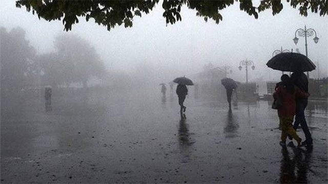
Showers will occur at times in the Western, Sabaragamuwa and North-western provinces and in the Kandy, Nuwara Eliya, Galle and Matara districts on Tuesday, the Department of Meteorology said.
Showers or thundershowers may also develop at a few places in the Ampara, Monaragala and Batticaloa districts after 2.00 p.m., according to Ada Derana. Mainly dry weather will prevail elsewhere.
Fairly strong winds of about 40–50 kmph can be expected at times over the western slopes of the central hills, the Northern, North-central and North-western provinces, and in the Trincomalee, Monaragala, Hambantota and Matale districts.
The department asked the public to take adequate precautions against damage from temporary localised strong winds and lightning during thundershowers.
Rain where the department said it would come
The forecast matches the outlook the Met Department set out a day earlier. Director General Ajith Wijemanna said on Monday that while the severe dry weather affecting much of the island is expected to persist until around the end of September, some increase in rainfall was likely over the coming days in parts of the country including the south-west.
Tuesday’s showers fall squarely in that south-western band — the Western and Sabaragamuwa provinces and the southern coastal districts — rather than in the seven districts the Disaster Management Centre lists as worst hit by the dry spell. Of those, only Ampara, Monaragala and Batticaloa appear in Tuesday’s forecast, and only as isolated afternoon thundershowers.
The east and north-central dry zone remain under a separate amber warm weather advisory for the same day. The strong winds forecast for the Northern and North-central provinces will add evaporative stress to an area already short of water.