The World Meteorological Organization said on Thursday that the current El Niño is near certain to persist through to February 2027 and will intensify into a “very strong” event before it peaks, in one of the strongest outlooks the UN climate agency has issued on the phenomenon.
Forecasts point to an “exceptionally high likelihood of nearly 100%” that the event continues through February, NewsFirst reported. The WMO expects it to peak towards the end of this year, with the knock-on effects on global climate continuing well into 2027.
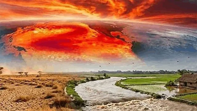
“El Niño is firmly established and will intensify into a very strong event in the coming months, with big impacts on rainfall and temperature patterns and associated risks of floods, drought and extreme heat,” the agency said, in remarks carried by Ada Derana.
Exceptionally warm sea-surface temperatures across the tropical Pacific are driving the event.
”Supersized before our eyes”
UN Secretary-General António Guterres issued an unusually blunt statement.
“El Niño is being supersized before our eyes,” he said. “The science leaves no room for doubt: the planet is in uncharted waters, and those waters are heating up. Sea surface temperatures are rising, temperatures keep climbing, and the world is in the danger zone of extreme weather.”
“The race now is between rising risks and our commitment to take climate action and protect people. We must win that race.”
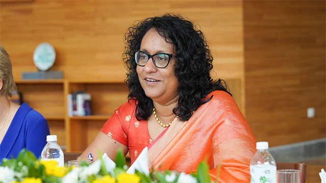
WMO chief Celeste Saulo said the event “has the potential to deliver a massive blow to communities and economies across the world.”
Ada Derana’s report notes that El Niño is a natural climate cycle and is not itself caused by climate change, but that scientists expect it to compound the heat of a planet already warming from fossil fuel use. Because ocean heat releases slowly into the atmosphere, El Niño years typically push up global temperatures the following calendar year — 2024, the hottest year on record, followed the last event.
Why the February date matters for Sri Lanka
The persistence forecast lands squarely on Sri Lanka’s cultivation calendar. The Maha season — the island’s main cultivation season, watered by the North-East monsoon — runs from roughly October to February. A WMO assessment that the event will still be running through February is a forecast that the disruption covers the whole of Maha, not just its opening weeks.
The government has already moved the season forward by about two weeks and has halted irrigation releases in Polonnaruwa. A Cabinet subcommittee met this week to consider relief for people losing their jobs to the dry spell across six affected districts, where the Disaster Management Centre counts 88,068 people hit by crop damage.
The WMO’s “very strong” classification also aligns the UN agency with two assessments already on the record. Sri Lanka’s Department of Meteorology put the odds of a very strong event by year-end at more than 90%, and Britain’s Met Office said in August the event is likely to be the strongest in living memory, forecasting Pacific sea-surface temperature anomalies above 3°C. All three now agree on the intensity; the WMO adds the duration.
The agency said it is working with UN partners and humanitarian agencies to supply early-warning information to disaster managers and to climate-sensitive sectors including agriculture, health, energy and water.
What was not reported
Neither outlet gave a regional breakdown for South Asia or a rainfall outlook specific to Sri Lanka, and neither reported what the WMO expects for the Second Inter-Monsoon, which normally brings rain from October. Neither said when the agency’s next update is due. Ada Derana attributes its report to a wire service; NewsFirst does not state a source.