The National Building Research Organisation (NBRO) has doubled the reach of its top-tier landslide alert overnight. Level 3 Red warnings — the tier that carries an instruction to evacuate — now cover six districts, up from three on Sunday, and five river basins have reached flood or flood-risk level.
Red warnings now apply in Galle, Kalutara, Kandy, Kegalle, Nuwara Eliya and Ratnapura. Galle, Kalutara and Ratnapura are new to the list.
Where the Red warnings apply
The Red-listed Divisional Secretariat divisions are Neluwa (Galle), Walallawita (Kalutara), Pasbage Korale (Kandy), Ratnapura (Ratnapura), five divisions in Kegalle — Dehiowita, Aranayake, Deraniyagala, Mawanella and Yatiyantota — and four in Nuwara Eliya: Norwood, Kothmale East, Ambagamuwa and Kothmale West, according to Hiru News and NewsFirst, whose division lists match.
Level 2 warnings cover eight districts, and Level 1 warnings extend into Gampaha and Kurunegala — districts that carried no landslide warning at all on Sunday. Counting every tier, ten of the country’s twenty-five districts are now under some form of landslide warning.
Sunday’s fatal ground is now warned
On Sunday a man was killed at Ruwanwella in Kegalle when an embankment collapsed beneath him and swept him into the overflowing Ritigaha Oya, near Polkatu Wanguwa on the Ruwanwella–Bulathkohupitiya road. As we reported at the time, neither Ruwanwella nor Bulathkohupitiya appeared anywhere in that day’s bulletin — the death happened in a division under no warning.
Both now appear on Monday’s Level 2 list. Neither the NBRO nor either outlet notes the change.
Five rivers rising
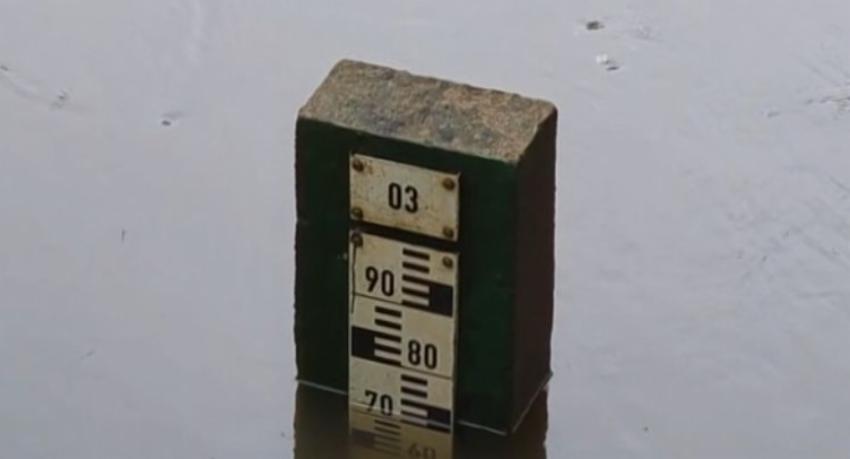
The Department of Irrigation reports the Mahaweli, Kelani, Kalu, Nilwala and Gin rivers all rising. The Mahaweli remains at minor flood level at Peradeniya, with residents at Gampola, Nawalapitiya, Peradeniya and Weligalla told to stay highly vigilant. The Kelani has reached minor flood level at Glencorse after heavy rain in its upper catchment, and flood-risk level at Holombuwa and Norwood. The Kalu is at flood-risk level at Millakanda, Ratnapura and Magura, the Gin at Thawalama, and the Nilwala at Panadugama.
Two places carry warnings from both agencies at once. Norwood is a Red-listed landslide division and a Kelani flood-risk point; Thawalama is a Level 2 landslide division and the Gin’s flood-risk point.
Ratnapura is the sharpest case. The town sits under a Red landslide warning, the Kalu is at flood-risk level there — and Ratnapura is one of the ten districts on the Disaster Management Centre’s dry-weather register, which last week counted 169,071 people affected by water shortages nationally. No agency connects the two datasets.
The stated cause has shifted again
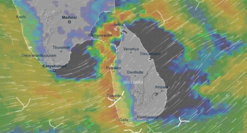
The Department of Meteorology expects more than 100 mm of rain in the Western, Sabaragamuwa and North Western provinces and in the Galle, Matara, Kandy and Nuwara Eliya districts. It attributes the rain to a low-pressure area over the Bay of Bengal northeast of Sri Lanka, near the Andaman Islands, which it says is not expected to strike the island directly — rain is reaching the south-west through prevailing wind patterns.
That is the third attribution in four days. Reporting on 18 September tied the rain to an Andaman low; Daily Mirror attributed it to the active Southwest Monsoon on 20 September; Monday’s bulletin returns to the Andaman low. The shifts are not necessarily contradictory — a low can enhance the monsoon — but no bulletin acknowledges the change.
Not reported
Neither outlet gives an expiry time for the Red warnings, a count of households inside the Red divisions, or any figure for evacuations to safe centres. Neither says whether schools will open, whether any new landslide has occurred since Sunday’s Hatton–Bogawantalawa earthslip, or whether the Attanagalu Oya — flagged last week as a basin of particular concern with no formal warning attached — is among those now rising.