The low-pressure system in the Bay of Bengal has strengthened into a depression, and the Department of Meteorology has told fishing and naval craft to stay out of a large block of sea until further notice. The upgrade turns Monday’s departmental advisory to multi-day boats into a formal marine warning with a defined exclusion zone.
The closed area
The Department has instructed vessels to avoid fishing and naval activity in the sea areas between latitudes 5°N and 22°N and longitudes 85°E and 100°E — a block covering most of the Bay of Bengal — until further notice, ITN News reported. Boats already working inside it were told to leave.
The warning of strong winds and rough seas for multi-day fishing vessels in the deep-sea areas was issued as valid for the following 12 hours. The exclusion itself carries no end date.
Where the system is going
At 5.30 a.m. Sri Lanka time on Tuesday the depression lay over the west-central and adjoining north-west Bay of Bengal, having tracked west-north-west, according to ITN’s relay of the bulletin. It is expected to deepen further into a deep depression and then cross the coast around north Andhra Pradesh and southern Odisha — Indian landfall, not Sri Lankan.
The two accounts put slightly different clocks on the next stage. ITN gives 12 hours for the deep-depression upgrade; Hiru News reports the Department expecting it within 24 hours, in its bulletin on the same system.
Why a storm that misses the island still matters here
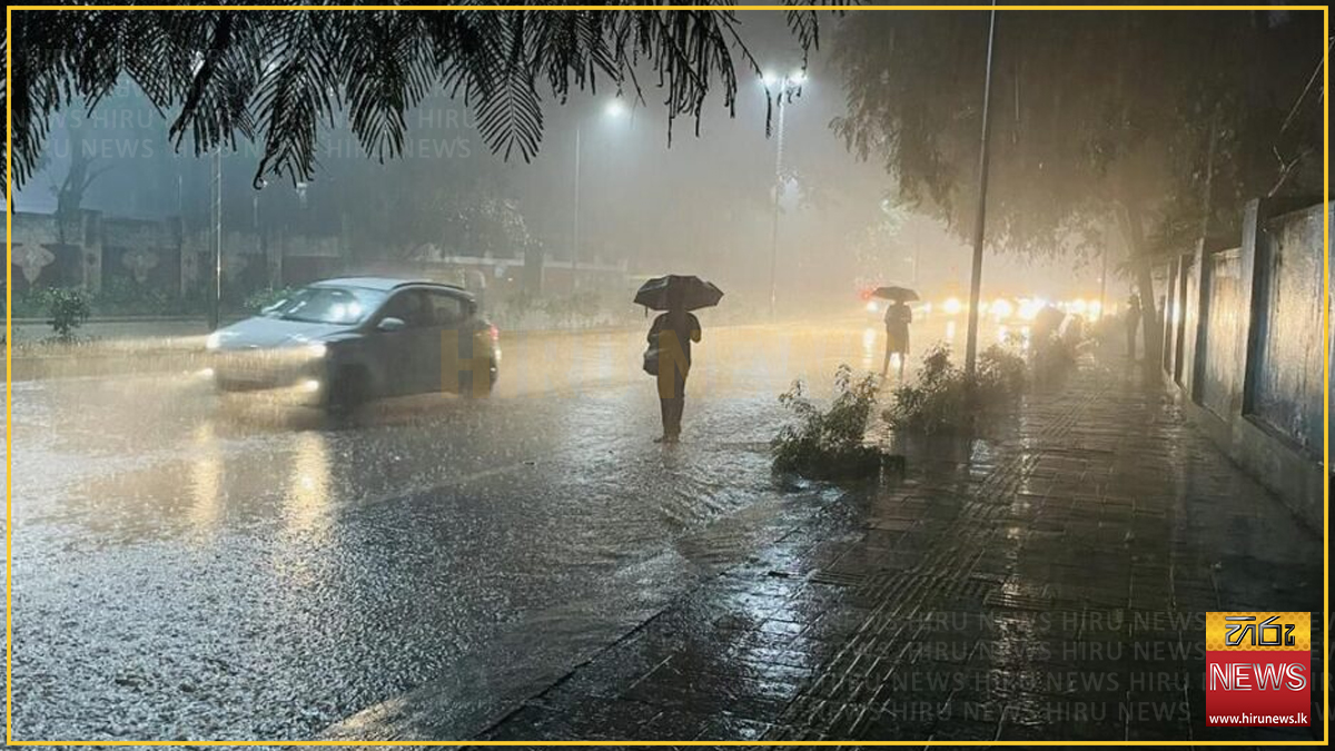
Hiru confirms the Department’s position that the system has no direct impact on Sri Lanka. What reaches the island is the wind stream drawn towards it, which keeps rain over the south-west.
The fleet is the exposure. Sri Lankan multi-day boats fish far from home, in exactly the waters now closed. The Department of Fisheries ordered vessels around the Andaman Islands to run south on Monday, and said several were still out.
Showers or thundershowers are expected in the Western, Sabaragamuwa, Central and North Western provinces and in the Galle and Matara districts, with falls of about 100 mm at some places, Hiru reports.
Update, Tuesday evening: a wind warning is added inland
A later Daily Mirror bulletin extends the picture beyond rain. Strong winds of around 40–50 kmph are expected at times over the western slopes of the Central Hills, the North Central and North Western provinces, and the Trincomalee, Hambantota and Matale districts, the Daily Mirror reported.
Several spells of showers may also occur in the North Central Province and the Mannar district — areas outside the south-western rain band described earlier in the day.
The Department advised the public to take precautions against damage from temporary localised strong winds and lightning during thundershowers. Hiru News, in a second filing, puts the 100 mm falls within the next 24 hours.
The inland wind warning is the part with no marine equivalent: the fishing exclusion covers the fleet at sea, while the 40–50 kmph gusts fall on districts far from the coast.
The forecast beyond this week
Rain may ease slightly after 23 September, but heavier falls above 100 mm could return after 27 September, Deputy Director of Forecasting and Early Warning J.W. Karunaratna told the Daily Mirror.
He pointed past this system to the season behind it. “October and November are critical months in terms of strong winds and landslides. We normally receive rain during this period, but with the El Niño situation, the conditions could be worse,” he said. Asked about a repeat of Cyclone Ditwah, he said that “although it may not reach the magnitude of Ditwah, the impact could still be colossal.”
Not reported
None of the sources says how many Sri Lankan multi-day vessels are inside the closed block, whether any have failed to respond, what wind speeds are expected in the fishing grounds, or whether the Navy has been asked to assist boats running for shelter. Nor does any source say what would trigger lifting the exclusion.