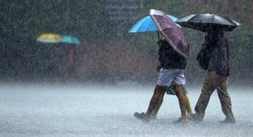
The Department of Meteorology expects heavy rain of more than 100mm at some places in the Western, Sabaragamuwa, Central and Uva provinces and in the Galle and Matara districts on Tuesday — a threshold one station has already passed overnight, with 162.5mm recorded at Deniyaya.
The department issued the warning on Tuesday morning, NewsFirst reported. It asked the public to take precautions against temporary localised strong winds and lightning during thundershowers.
What has already fallen
The figures below are the totals recorded as of 5.30 a.m. on Tuesday, and they describe rain that has already fallen rather than the forecast:
- Deniyaya — 162.5mm, the highest in the country
- Udugama — 139mm
- Dehiowita (Deraniyagala) — 115mm
All three readings sit at or above the 100mm figure the department is forecasting for the day ahead, which is the clearest indication of how saturated the south-western catchments already are.
The forecast in detail
Hiru News, carrying the same departmental statement, sets out the rest of the day’s outlook. Showers or thundershowers may occur at times in the Northern Province and the Trincomalee district, while in the remainder of the island rain is expected after 1.00 p.m. Rain may also occur in coastal parts of the Southern Province during the morning.
A separate note in the same statement warns of misty conditions in the early morning across the Western, Sabaragamuwa, Central and Uva provinces and the Galle, Matara and Kurunegala districts.
That mist advisory is the only place Kurunegala appears. It is worth stating plainly, because the department issues these as distinct products and they are easily merged: the above-100mm rainfall warning does not extend to Kurunegala or the North-Western Province. It covers four provinces and two districts, as listed above.
At sea
Wind speeds in the sea areas from Mullaittivu through Kankesanthurai to Puttalam may increase up to 40 km/h at times. During thundershowers, temporary strong gusty winds of 60 to 70 km/h can be expected in those sea areas, which may turn temporarily very rough.
Rivers rising
Water levels have risen in the Gin, Kalu and Kelani rivers and in the Attanagalu Oya as a result of the sustained rain.
L. S. Sooriyabandara, Director of the Hydrology Unit of the Irrigation Department, said a minor flood situation could develop within the next few hours in the downstream reaches of the Gin River, specifically in the Nagoda, Baddegama and Welivitiya-Divithura divisional secretariat divisions. This desk reported the initial rise along the Gin River on Monday evening; Tuesday’s filing extends that warning and attaches a named official to it for the first time.
A minor flood warning also remains in force for the Attanagalu Oya, where levels are rising on heavy rain in the upper and middle catchments combined with the opening of spill gates at the Basnagoda reservoir. Low-lying parts of the Attanagalu Oya and Uruwal Oya basins are at risk in the Divulapitiya, Mirigama, Attanagalla, Mahara, Gampaha, Minuwangoda, Ja-Ela, Katana and Wattala divisional secretariat divisions. That basin was placed under an amber flood warning on Monday covering the same nine divisions.
Context
The rain continues a pattern that has run for more than a week across the south-west, including the flash flooding that submerged much of Colombo on 6 November and a similar above-100mm forecast issued on Sunday. Sunday’s warning covered a different combination of areas, so the two should not be read as the same advisory repeated.
Not reported
Neither filing gives a validity window or expiry time for the rainfall warning, and neither states the period over which the 162.5mm at Deniyaya accumulated — only that the reading stood at 5.30 a.m. No colour tier is attached to the rainfall warning itself. Neither filing gives current gauge heights for the Gin, Kalu or Kelani rivers, the discharge rate at Basnagoda, or the number of households at risk, and no Disaster Management Centre advisory, evacuation instruction or school closure had been reported at the time of writing.