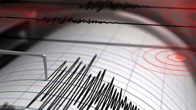
A powerful earthquake of magnitude 7.8 struck Mindanao in the Philippines on Monday, the German Research Centre for Geosciences (GFZ) reported, prompting the United States Tsunami Warning System to issue a tsunami threat across the surrounding region.
The quake was recorded at a depth of just 10 kilometres (6.2 miles), the GFZ said — a shallow rupture that typically amplifies surface damage and increases the risk of locally generated tsunami waves.
GFZ initially measured the earthquake at magnitude 7.3 before revising the reading upwards to 7.8 in subsequent bulletins. Initial estimates of large Pacific-trench quakes are frequently upgraded over the first few hours as more seismic data arrives, and Monday’s revision tracks that pattern.
Mindanao sits on the western edge of the Pacific Ring of Fire, a tectonic boundary where the Philippine Sea Plate subducts beneath the Sunda Plate. The region has experienced multiple large earthquakes in recent decades and is one of the most seismically active zones in Southeast Asia.
No early reports of casualties or structural damage were available at the time of publication. The Philippine Institute of Volcanology and Seismology and the National Disaster Risk Reduction and Management Council had not yet released formal advisories, and Sri Lanka’s Disaster Management Centre had not issued any Indian Ocean tsunami advisory in the immediate aftermath.
Tsunami threats issued by US authorities for trans-Pacific events do not automatically translate to Indian Ocean risk, and Sri Lanka’s eastern coastline sits well outside the projected propagation arc of a Mindanao-source wave. The DMC would normally issue its own bulletin only if conditions warranted public action — an apparatus still under reform after the Centre for Environmental Justice’s May 29 writ on disaster preparedness gaps following Cyclone Ditwah.
Sources: Ada Derana — Earthquake of magnitude 7.8 strikes Mindanao, Philippines.