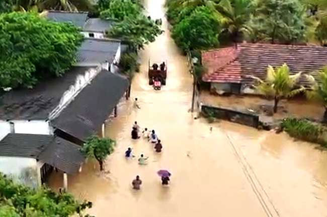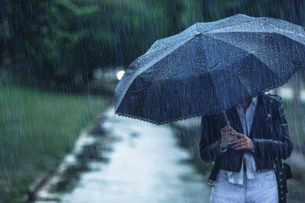
The Department of Meteorology has warned that fairly heavy showers above 50 millimetres are likely at some places as the South-West monsoon continues to establish itself over the island.
Showers will occur at times in the Western, Sabaragamuwa and North-western provinces and in the Galle, Matara, Kandy and Nuwara-Eliya districts, the department said in its Thursday morning advisory. Several spells of showers are forecast for the Northern Province and the Anuradhapura district. Showers or thundershowers may occur at a few places in the Uva Province and the Ampara and Batticaloa districts after 2 pm.
Fairly strong winds of about 30-40 kmph can be expected at times over the western slopes of the central hills and across the Northern, North-central, North-western and Southern provinces. The public has been asked to take precautions against temporary localised strong winds and lightning during thundershowers.
Showers or thundershowers will also occur at several places in the sea areas off the coast from Puttalam to Hambantota via Colombo and Galle. Winds at sea will be south-westerly at 30-40 kmph, increasing to 50-60 kmph at times in the sea areas extending from Kankesanthurai to Puttalam via Mannar and from Galle to Pottuvil via Hambantota. Wave heights may rise to 2.0-2.5 metres in those areas.
The 50mm threshold advisory is an escalation from the onset notice issued on 19 May confirming the arrival of the South-West monsoon. The Department of Meteorology had earlier forecast a near-normal South-West monsoon for the June-September season.
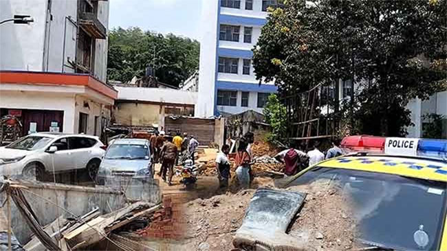
The intensifying rainfall comes as Sri Lanka still has more than 1,630 families in shelters in Kandy alone six months after Cyclone Ditwah, and as displacement-relief work continues across affected districts.
Source: Newswire.